Surface……….617 km2
Population…….172.871 inhabitants
Density……….280,17 inhab/km2
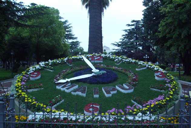
The Department of Maipú is in the province of Mendoza, 16 kilometres from the capital city. Its borders are on the North with Guaymallén and Lavalle, on the East with San Martín, on the Southeast with Junin, on the Southwest with Lujan and on the West with Godoy Cruz. It presents a flat, plain, with a slope inclinated from the Southwest to the Northeast. This is plain from a geological point of view is a large sedimentary basin, whose edges are created by the Pre Ridge and the Frontal Range as well as by the San Rafael Block on the West, and the granitic outcrops on the San Luis basis, on the East. At the southern end, there are the hills of Lunlunta and Barrancas. Maipú has a dry temperate climate with a tendency to be warm. The absolute minimum temperatures are -9.2° C and the maximum 42.7° C. It is divided into 12 districts: Coquimbito, Cruz de Piedra, Fray Luis Beltrán, General Gutierrez, General Ortega, Las Barrancas, Lunlunta, Luzuriaga, Maipu, Rodeo del Medio, Russell, and San Roque.
The annual precipitations are around 200 millimetres. The prevailing winds are from the West and Southwest, to which adds the Zonda wind, characterized as warm, strong and with very low humidity.
The fauna consists mainly of toads, frogs, partridges, pigeons, teros (a typical bird), pititorras, iguanas, lizards, snakes, rats, cuises, skunks, vizcachas, quirquinchos and weasels. The native flora is scarce due to the fact that most of the land is cultivated. In the upper zone, located in the western sector of the department, there is jarilla (an indigenous bush), sweet carob, and alpataco and retamo; in the lower zone, located in the East and North areas, where the soil is saline and there is little humidity is zampa, jume, retortuño and salty grass. The Mendoza River crosses the southern end of Maipu; it carries little water, increasing only in summer or on the days that the Cipolletti Dan is open for maintainance.


