5-Belgrano
It is limited in the north by the street Capilla de Nieves y Virgen de Nieves, in the south by the streets Godoy Cruz and Belgrano, in the east by the street Libertad and Victoria, and in the west by Mitre Street.
With an area of 4.58 square kilometres and a population of 39007 inhabitants, its population density is 8517 inhabitants per square kilometre.
There are nine schools, a first aid room and two health centres, but there is neither police department nor police stations.
The district has main streets that define its perimeter: Mitre, Tomás Godoy Cruz, Avellaneda, and Pedro Molina. These connect this district with its neighbouring districts, and other departments. The secondary routes are Allayme, Sarmiento, and Santa Maria de Oro.
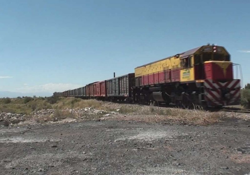
According to the data contributed by Professor Roberto Borcena, who has studied the origins of an existing wall on the street Allayme and Gorriti, the Huarpes were the first settlers who lived on their own crops; until the arrival of the Spaniards. In 1957, by the decree Nro.43 the Belgrano District is created, it takes over the name of the Railroad Manuel Belgrano whose terminal station used to be located in the south of that area, and in which surroundings important commercial and social activities are developed.
6-Buena Nueva
It is limited in the north by the street Professor Mathus, in the east by the General San Martín Railroad and Triunvirato Street, in the south by the street Tomás Godoy Cruz, and in the west by the streets Libertad and Victoria.
With an area of 5.39 square kilometres and a population of 11040 inhabitants, its population density is 2048 inhabitants per square kilometre.
There are two schools, a health center, but there is neither police department nor police stations.
It has a very old population that mixes itself with the new districts, which is increasing the occupation of the area. The place at the moment shows parcels that are cultivated with fruit trees and vineyards. Buena Nueva has model establishments in the nutritional industry and wineries of international prestige. In this district, there is the Municipal Cemetery that is administered by the Municipality.
As its main roads, the district has the streets Victoria, Tirasso, Triunvirato, Professor Mathues, and Godoy Cruz. In addition, as the secondary there is Julio A.Roca.
Historically this locality at colonial times was called Acéquia de los Gomez, according to a 1802 plan of the area, because these lands were property of the captains Jorge and Tomás Gomez de Araujo. In 1873, it was stated that there were a bar and a boarding house that belonged to Don Cardemio Buena Nueva and that is why the area was known from that time on by its current name. It is also popularly recognized the “Tin Ball” in this district, located in the intersection of the streets Godoy Cruz and Tirasso, a place where there used to be a warehouse of property of an Arab man. In that building, displayed at the top of a cornice, there was a tin ball with a crescent moon on it. That symbol would be used by the villagers as a geographical landmark.


