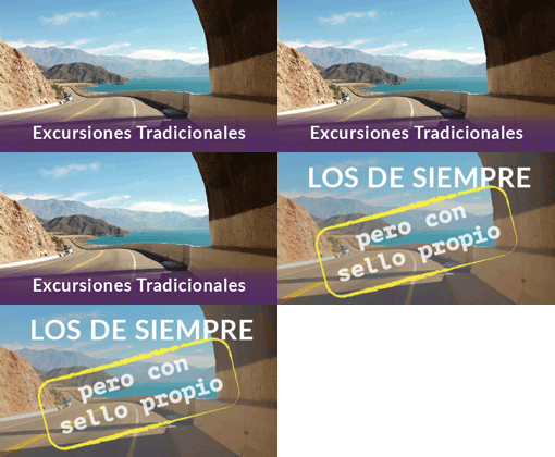
Mountain way. In winter, the snow can make it difficult to circulate between Punta de Vacas and Las Cuevas. There are two options, one through Villavicencio, and the other through Potrerillos. In the first way, there are difficult passages for low vehicles. As the altitude ranges between seven hundred and three thousand metres, it is necessary to take a coat for the night. This tour of four hundred twenty kilometres is done in a day. It is done throughout the year, except when there is snow.
A) Villavicencio: after checking on the conditions of the road “caracoles” of Villavicencio, in the Tourist Office of Las Heras, or at the Subsecretaria de Turismo, the tour starts through Provincial Route 52 until Villavicencio, where the sight of a famous spa hotel, in addition to the water and beautiful gardens, make up a real oasis. From this point begins the ascent by the “caracoles” (a dirt road) up to three thousand metres above the sea level, at the Cruz de Paramillos, and then descend to Uspallata.
B) Potrerillos: starting at the Great Mendoza, the Acceso Sur and National Route 40 are taken; continue up to the junction of the new National Route 7 in Lujan de Cuyo, area where there is the Petrochemical and Industrial Complex, and the Oil Distillery. Follow through Serranías and El Cerro Cacheuta in a Pre ridge environment, until you reach the Potrerillos Valley, at the point of the new reservoir, to go further in High Mountain if your wish.
C) Another alternative to the circuit is starting at the city of Mendoza, going through San Martin South, the old Route Panamericana through Vistalba until the junction with the roundabout Chacras de Coria, Route 82, towards the roundabout Dique Cipolletti, Industrial Complex Zone, take the junction with the New National Route 7 until Potrerillos. Go across the Mendoza River Valley passing through the Pre ridge until you get to the picturesque Uspallata Valley at one hundred ten kilometres.
Since the departure point, the town has hotel services, motels, restaurants, hospital and comprehensive services and facilities for tourists. From there the options are joined, continuing up the main Cordillera of the Andes by the Panamericana highway, to visit the Historic Bridge of Picheuta. Later on, there are the Inca ruins of Tambillitos and subsequently Punta de Vacas (a historical reference), the ski resort Los Penitentes, the Puente del Inca, a natural geological wonder, which also has thermo-mineral water springs. Continuing for two kilometres, there is the customs complex and the access to the Aconcagua Provincial Park, which goes up to the Laguna de los Horcones and provides a great view of the Colossus of America: Aconcagua (6962 m). Returning to the Panamericana westwards, there is the access, two hundred kilometres from Mendoza, to the border village of Las Cuevas. The return is made by the same route.
D) The journey to Cacheuta is done through San Martín south, the old Panamericana highway (Godoy Cruz) Provincial Route 82, to visit an area of a unique beauty and various services in La Puntilla, Chacras de Coria, Vistalba and Blanco Encalada (all in the Department of Lujan de Cuyo). This route takes you into the Pre ridge area and there you can admire the Cajon del Rio Mendoza and the village of Cacheuta, its hot springs and a suspended bridge. The return is made by the same route, passing by Chacras de Coria or by the city of Lujan de Cuyo, between vineyards, groves and residential areas of rich agricultural landscape and wineries.
E) Option for Circuit 2:
* Las Heras – Uspallata: through Provincial Route 13, for off-road vehicles.
* Uspallata – Calingasta (San Juan): through Provincial Route 39 northwards, passing through the Pampa del Leoncito and the Astronomical Observatory, thus integrating to the southwest of San Juan.
* Las Heras – Potrerillos: for hiking or horseback riding starting at Estancia San Isidro, of Pampa de los Ñangos and going down through Potrerillos.
* Puente del Inca – Plaza de Mulas: a hiking or horseback riding to the base camp of Mount Aconcagua. You get to the glaciers, at the headwaters of several rivers and the foothills of the highest mountains in the area.
* Lavalle – Laguna del Rosario: through the routes 34 and 33, and a detour to San Jose, a dirt road leads to Capilla del Rosario, where the tradition and indigenous culture are displayed to the eyes of the traveller.
Tags: aventura en potrerillos, cabalgatas en potrerillos, kayak en potrerillos, mountain bike en potrerillos, trekking en potrerillos

