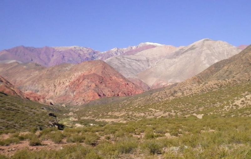
It is a path that formerly linked the valley of Uspallata with Mendoza and that is following the line of the telegraph, hence its name. The crossing begins on the National Route 7 km 1120, between the towns of Potrerillos and Uspallata, meters before passing the Arroyo El Alumbre. The path is well marked until the first confluence of rivers, formerly there was a path and path that ran along the telegraph line. After 5 km, the course changes, taking the East – West direction, following the stream with the highest flow, for another 5 km or so to reach the stalls. At the end of this section you can see the telegraph poles, belonging to the All American Cable. The use of walking sticks is recommended, for places where there are hauling or to lean on the falls of the stream. Some difficulty, 18 km from 8 to 9 hours between ascent and descent.


